From ABC7 New York · · 3m
The hurricane season that never showed up
El Niño is smothering Atlantic storms so completely that 2026 has set a record no one predicted.
In brief
El Niño is smothering Atlantic storms so completely that 2026 has set a record no one predicted. El Niño can flatten an entire Atlantic season even over record-hot water, but one late storm is still enough to be catastrophic, and next year looks worse. Originally reported by ABC7 New York.
The Atlantic went silent
A huge El Niño is killing storms before they get going. No Atlantic hurricane has formed all year, and none look likely for at least another week.
This should be the peak

Mid-September is normally the busiest stretch of the season. Only five weak, short-lived tropical storms have spun up so far.
A record in the satellite era

On Saturday, 2026 became the longest a season has gone without a storm hitting 64 mph. A few pre-1950s years ran later, but ocean monitoring back then was too patchy to trust.
Seven percent of normal

Activity measured by storm count, strength and duration sits at a post-1950 low, says Colorado State's Phil Klotzbach. The Atlantic is running at 7% of normal for the date.
“We haven't even had anything really even close to a hurricane.”
The triple whammy
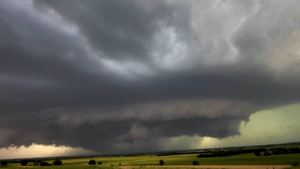
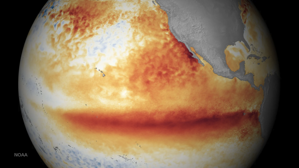
Winds that decapitate a storm, dry air that starves it, downward winds that stomp it. All three are textbook El Niño, which warms the equatorial Pacific and warps weather worldwide.
“It's really staggering, just how inhospitable the Atlantic is to anything that could form a tropical cyclone right now.”
Wind shear tears them apart

Between Africa and the Caribbean, where the strongest storms usually form, shear runs about 45 mph past what a cyclone can survive. Researchers call that level unheard of.
“Their heads are cut off before they even have a chance.”
Dust and sinking air
African dust is choking what little forms, there are fewer storm "seeds" to work with, and high pressure is pressing the air down over the basin.
Hot water wasn't enough

The world's oceans have been record hot for 100 straight days and El Niño still won. What matters is the gap between sea and air, and the air heated up faster.
Next season could be brutal

Atlantic water runs a few months behind the atmosphere. As El Niño fades and the air cools, that warmth stays in the ocean, raising the odds of a busy 2027, says MIT's Kerry Emanuel.
The Pacific is packed

El Niño feeds storms there with moist air and calm shear. Sixteen named storms in the eastern Pacific, 20 in the central, and Hawaii has been hit twice.
“It's just a party out there, one right after the other in the eastern Pacific.”
One storm is still enough

Forecasters called for a slow season, not this. Gulf shear has stayed low and those storms peak late, and 1992 started quiet before Hurricane Andrew.
“I don't think anyone really foresaw it being this quiet. This is quite remarkable.”
In short
El Niño can flatten an entire Atlantic season even over record-hot water, but one late storm is still enough to be catastrophic, and next year looks worse.