From FOX 4 News Dallas-Fort Worth · Ali Turiano · · 1m 20s
North Texas bakes at 101 before Sunday's break
Record-flirting heat, dry wind and a 5% contained wildfire keep North Texas on edge until a cold front arrives.
In brief
Record-flirting heat, dry wind and a 5% contained wildfire keep North Texas on edge until a cold front arrives. Tuesday is a record-threatening 101 with high fire danger, and the first real relief is a cold front late Sunday into Monday. Originally reported by FOX 4 News Dallas-Fort Worth.
A 101 degree Tuesday
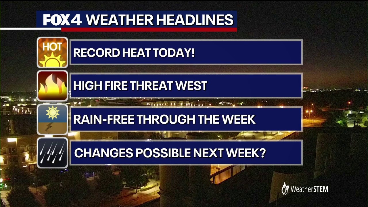
Dallas-Fort Worth is forecast to hit 101, enough to tie or break the local record of 100 degrees for the date.
“Tuesday's high is forecast to hit 101 degrees in the Metroplex”
Morning already felt like noon

Temperatures started in the upper 70s and low 80s: 82 in Dallas, 81 in Fort Worth and McKinney, 76 in Stephenville.
Dry wind makes it worse

Southerly gusts up to 20 mph keep the air dry and breezy, exactly the combination that pushes grass fires along.
Hydra Fire still burning

Crews are fighting the Hydra Fire in Bosque County at just 5% containment. A grass fire in Brock was knocked down quickly.
“which remains at just 5% containment”
High pressure locks it in
A dominant high keeps skies clear and highs in the upper 90s to low 100s through the rest of the work week. Heat Advisories stay up to the east.
Relief late Sunday
A cold front should arrive late Sunday into Monday with a 20% chance of rain and storms, finally pulling temperatures out of the triple digits.
“finally dropping temperatures down out of the triple digits”
The main idea
Tuesday is a record-threatening 101 with high fire danger, and the first real relief is a cold front late Sunday into Monday.