From The Conversation · Dylan Connor · · 1m 30s
FEMA flood maps miss home risks
Houston homes outside FEMA flood zones face higher flood risks than neighbors.
In brief
Houston homes outside FEMA flood zones face higher flood risks than neighbors. Houston homes outside FEMA flood zones have higher flood risks due to building quality, insurance, and location factors. Originally reported by The Conversation.
FEMA flood maps outdated
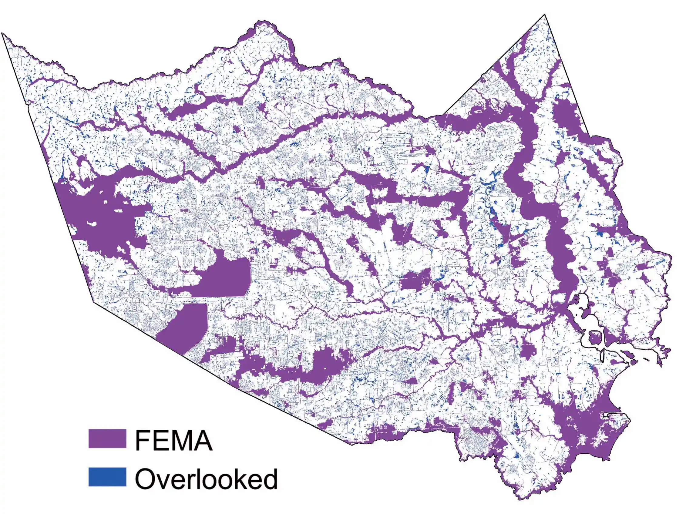
FEMA’s flood maps are outdated and often two decades old, relying on historical data rather than future risk projections.
Individual home risks differ
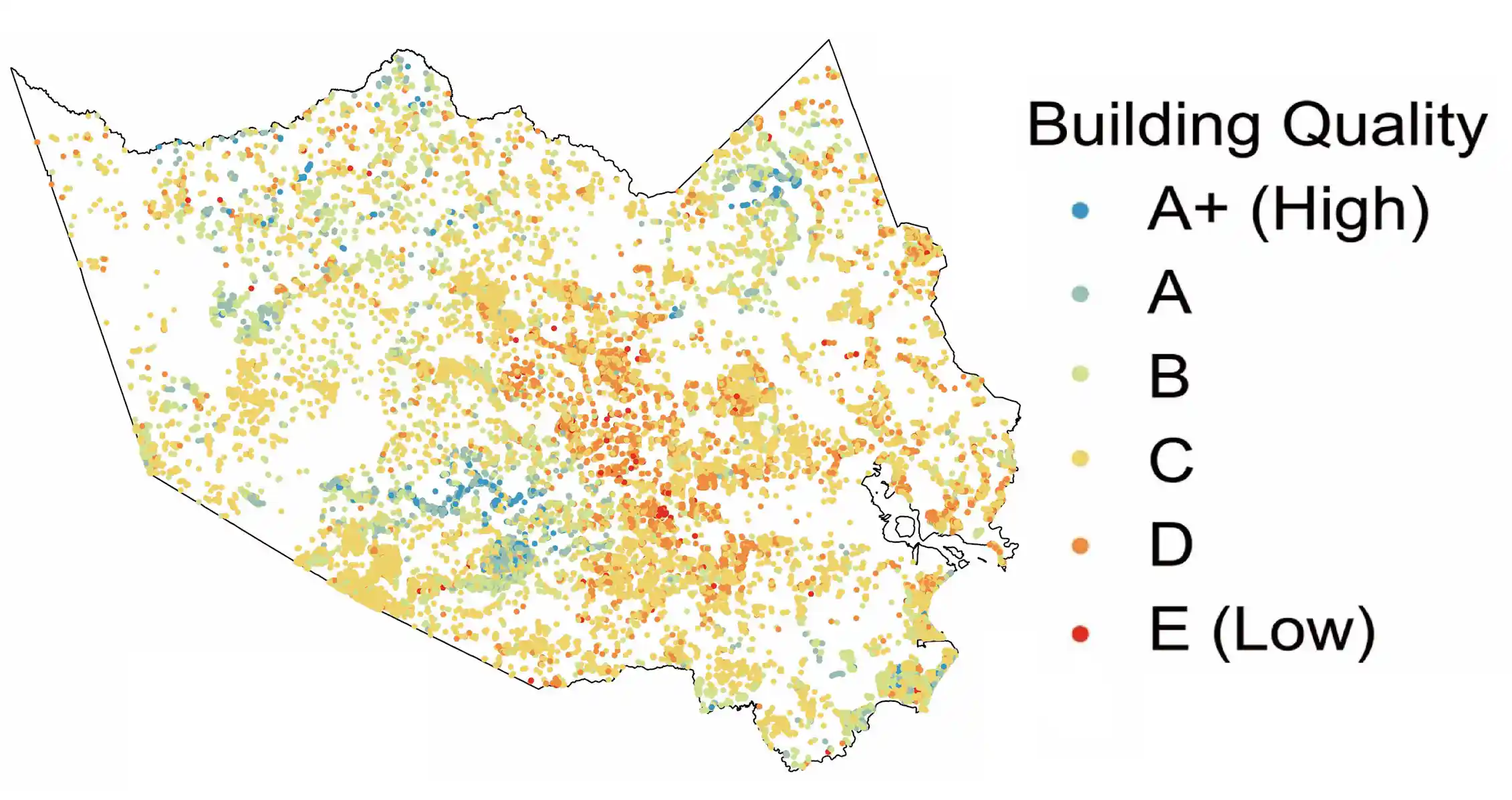
Homes on the same street can face radically different flood risks despite being in the same flood zone.
Flood vulnerability factors
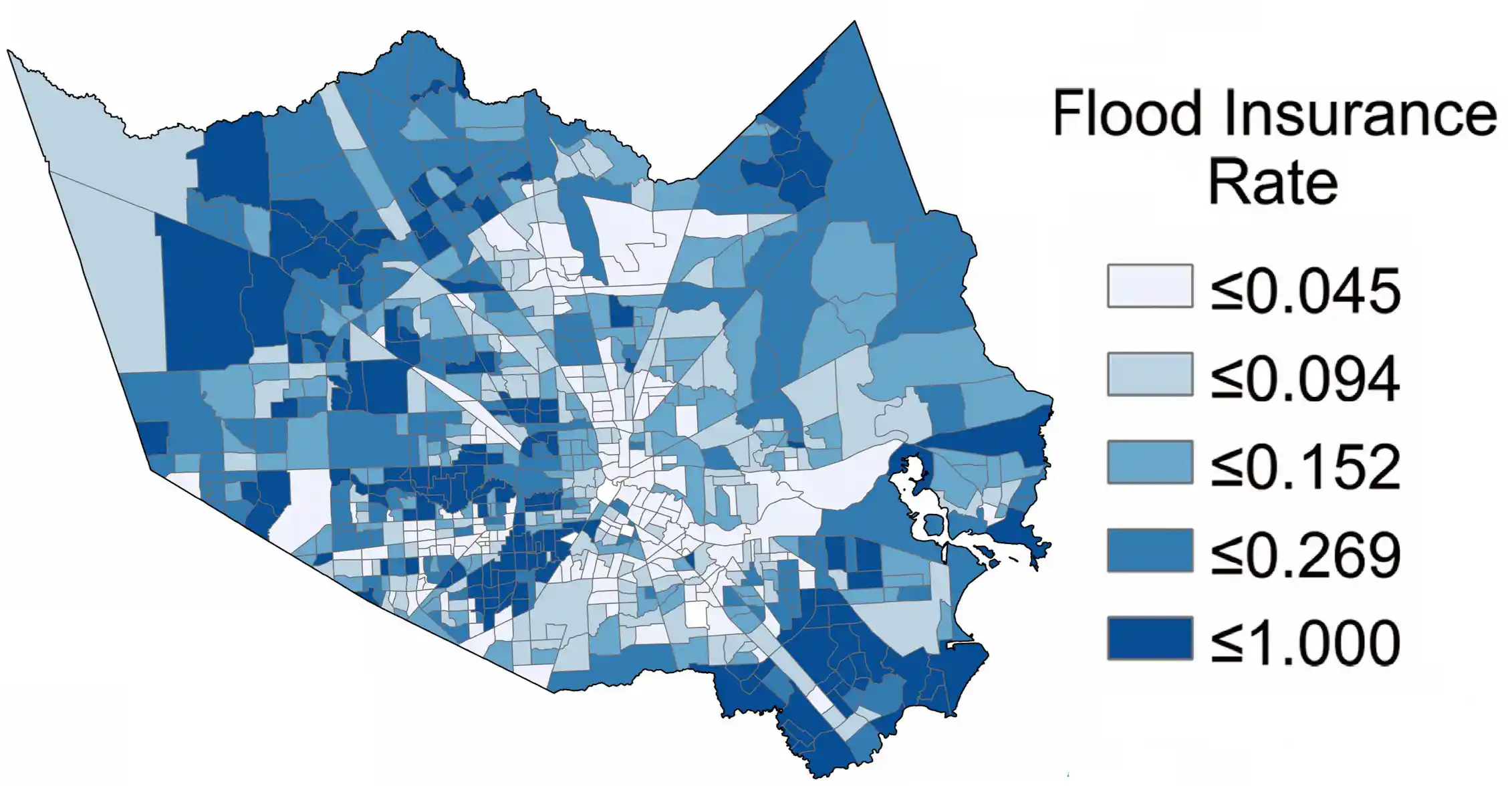
Flood risk depends on water depth, building age, road mobility, and insurance coverage.
Houston study reveals
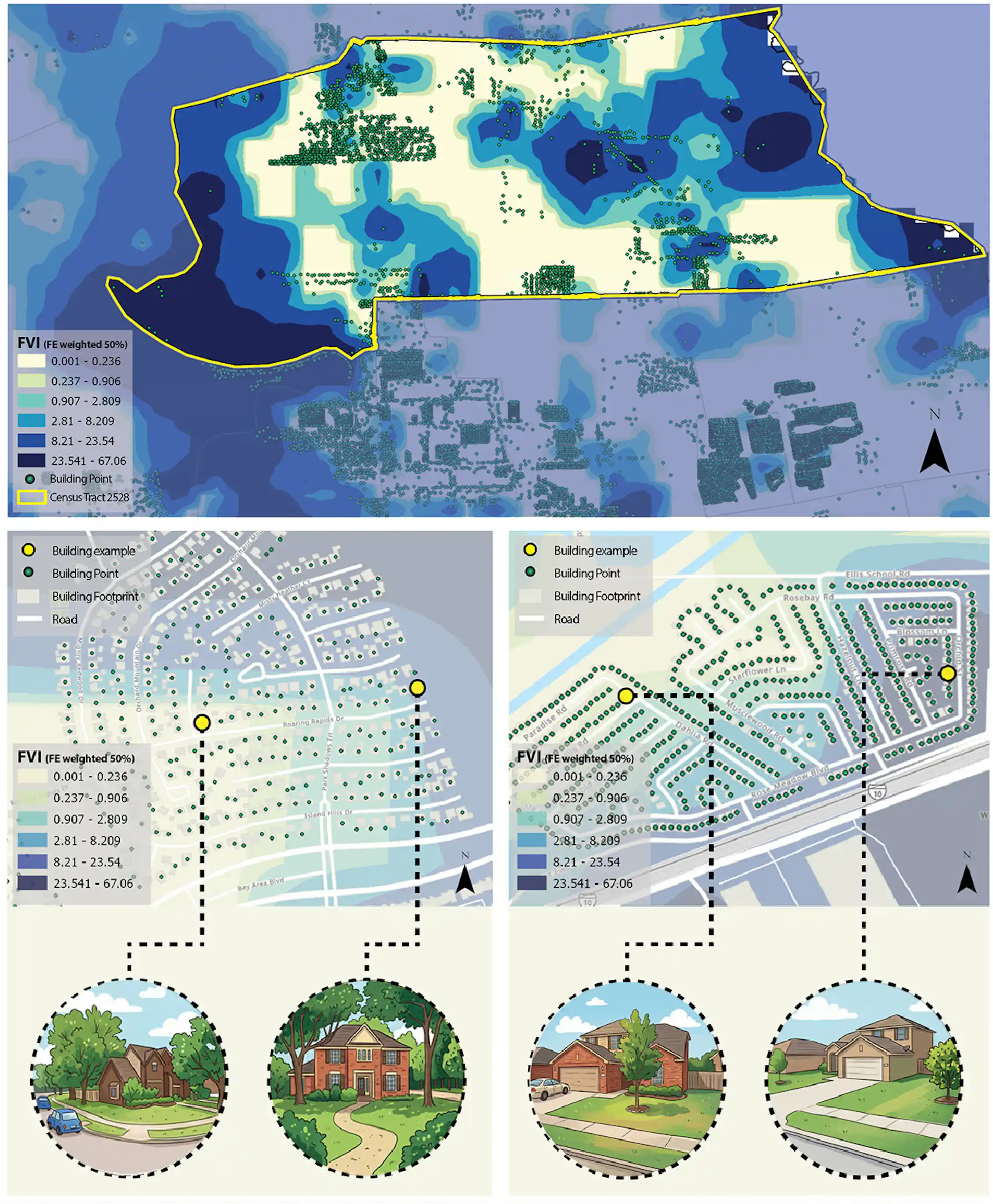
A study of 1 million Houston homes shows house-to-house flood vulnerability differences exceed neighborhood variations.
Same street, different risks
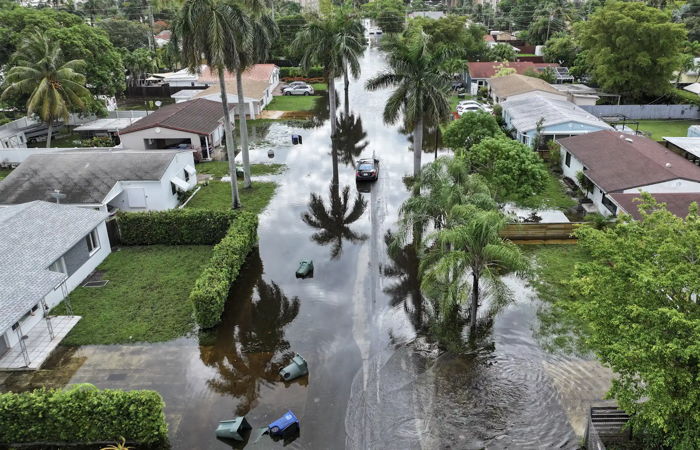
One home may be newer, insured, and well-maintained while another is older, uninsured, and in poor repair.
Flood vulnerability score
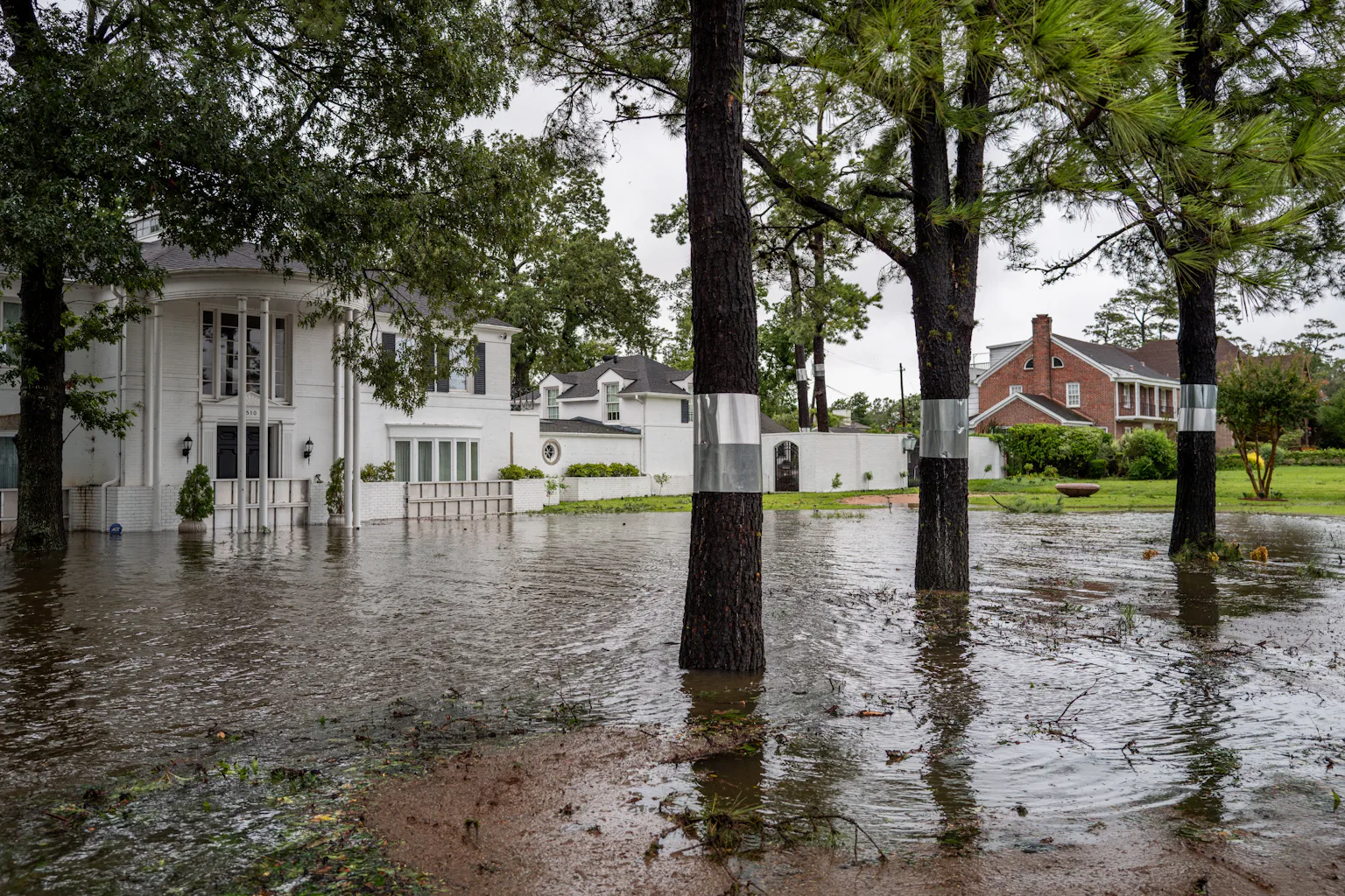
The study created a detailed flood risk score for each home using water depth, building quality, road mobility, and insurance.
Why vulnerability matters
Understanding individual home risks helps residents prepare and local officials allocate limited flood protection funds effectively.
Residents can check risks
Homeowners can check flood history, building age, condition, road access, and insurance coverage to assess risks.
Communities can act
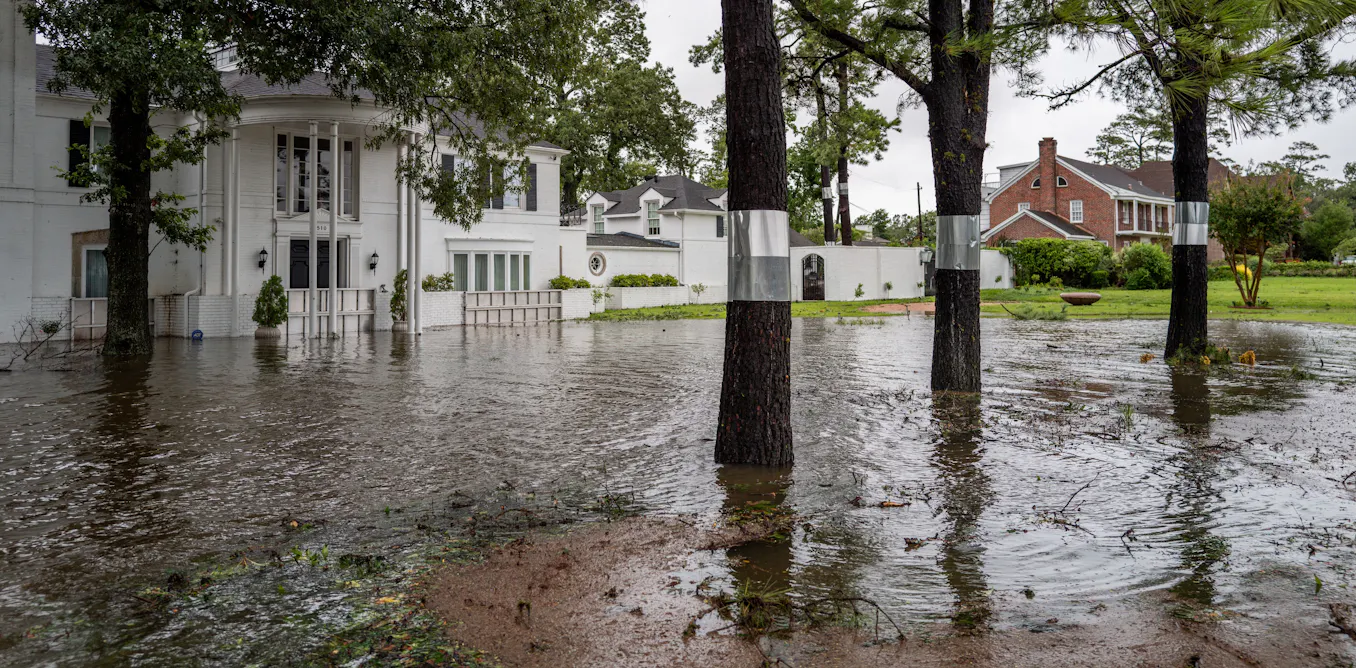
Communities can use local data to locate vulnerable homes and prioritize flood protection resources.
Floods don’t stop at maps
Flooding affects homes differently based on individual factors, not just neighborhood boundaries.
At a glance
Houston homes outside FEMA flood zones have higher flood risks due to building quality, insurance, and location factors.