From The Rio Times · Lucía Martínez · · 3m
Venezuela 2026: Geography Guide
Venezuela's geography shapes its oil wealth, trade routes, and regional challenges for foreigners.
In brief
Venezuela's geography shapes its oil wealth, trade routes, and regional challenges for foreigners. Venezuela, with 916,445 square kilometres, holds the world's largest oil reserves and sits on key Caribbean shipping routes. Originally reported by The Rio Times.
Where Venezuela Sits
Venezuela occupies the northern edge of South America, between approximately 1° and 12° north latitude and 60° and 73° west longitude.
Key Facts
Venezuela is a federal republic of 23 states, a Capital District and Federal Dependencies on South America’s northern Caribbean edge.
Why It Matters
Venezuela holds the world’s largest proven crude-oil reserves and sits on Caribbean shipping routes linking South America with the eastern Caribbean.
The Numbers
The National Statistics Institute gives Venezuela’s territorial area as 916,445 square kilometres, with land borders shared with Colombia, Brazil and Guyana.
The Catch
The World Bank and UN put the 2025 population at about 28.5 million, while some other estimates run higher, reflecting different assumptions about emigration.
What It Means for You
A foreigner needs to understand Venezuela’s geography to assess travel access, business logistics, climate risk and regional connections before any commitment.
Caribbean Coast and Northern Ranges
The northern edge of the country contains coastal plains, dry zones, beaches and mountain systems. The Cordillera de la Costa runs along much of the central-northern coast, separating Caracas from the Caribbean.
Andes and Western Highlands
The Venezuelan Andes occupy the west and northwest, especially the states of Mérida, Táchira and Trujillo. Pico Bolívar is Venezuela’s highest mountain.
Lake Maracaibo Basin
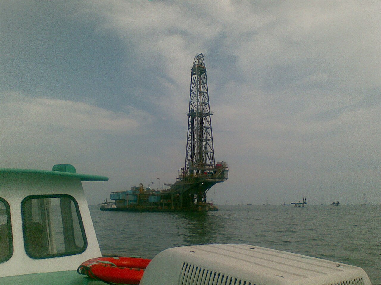
Lake Maracaibo dominates northwestern Venezuela. It is connected to the Caribbean through the Gulf of Venezuela and supports one of the country’s most important petroleum-producing regions.
The Llanos
The Llanos are extensive tropical grasslands stretching across central Venezuela and continuing into Colombia. They are drained primarily by the Orinoco system.
Orinoco River Basin
The Orinoco is Venezuela’s principal river system and one of South America’s great rivers. It flows eastward across the country before reaching the Atlantic through a large delta.
Guiana Highlands
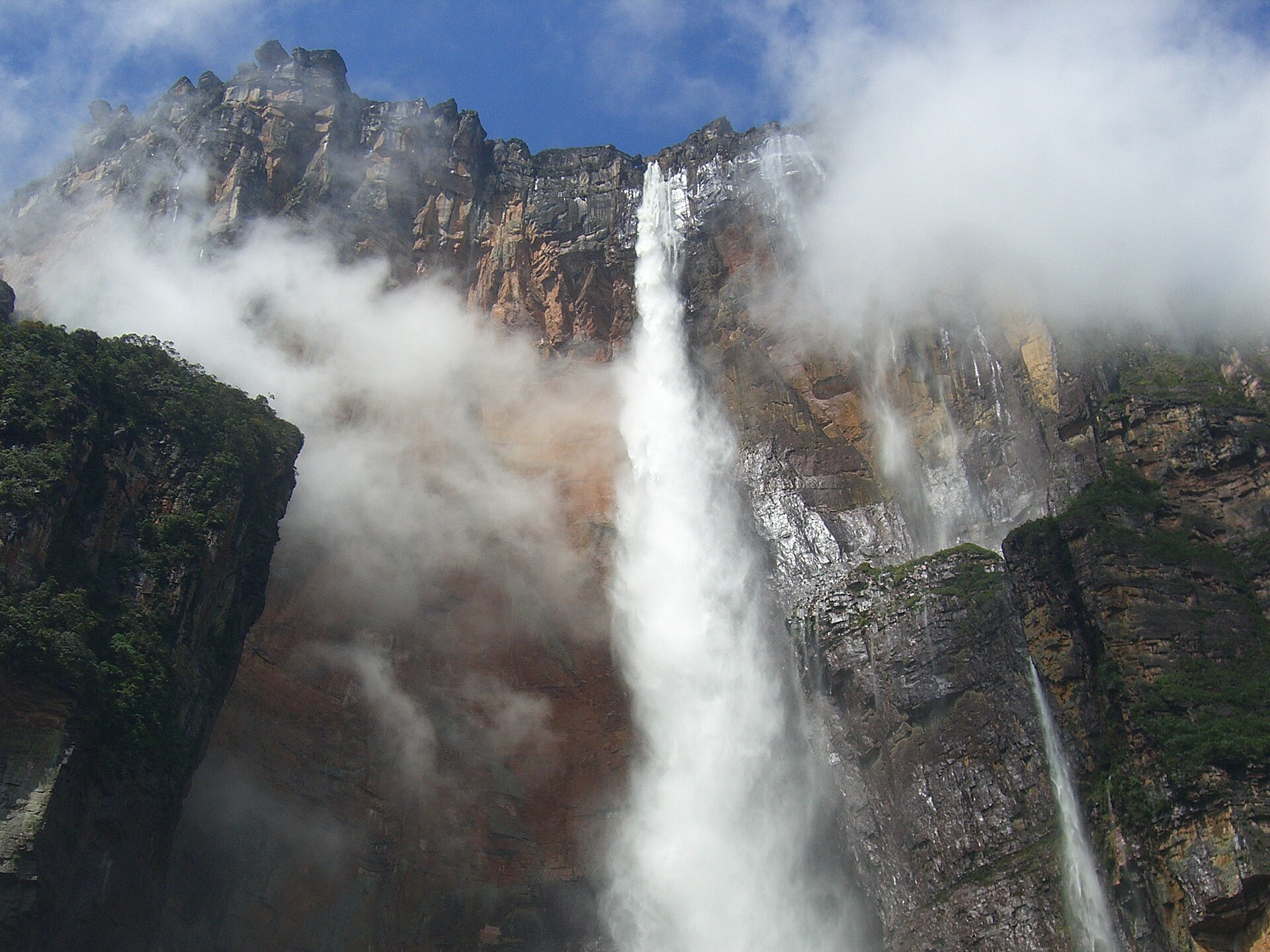
The Guiana Highlands are part of the ancient Guiana Shield, one of the world’s oldest geological formations. Angel Falls, the world’s highest uninterrupted waterfall, is located in Canaima National Park.
Climate by Region
Venezuela is tropical, but altitude and terrain create regional variation. Coastal lowlands are hot with seasonal rainfall. Caracas has a milder climate due to elevation.
Major Cities
Caracas is the national capital and largest metropolitan area. Maracaibo is the economic centre of the Lake Maracaibo basin. Valencia is a major industrial and manufacturing centre.
Government and Population
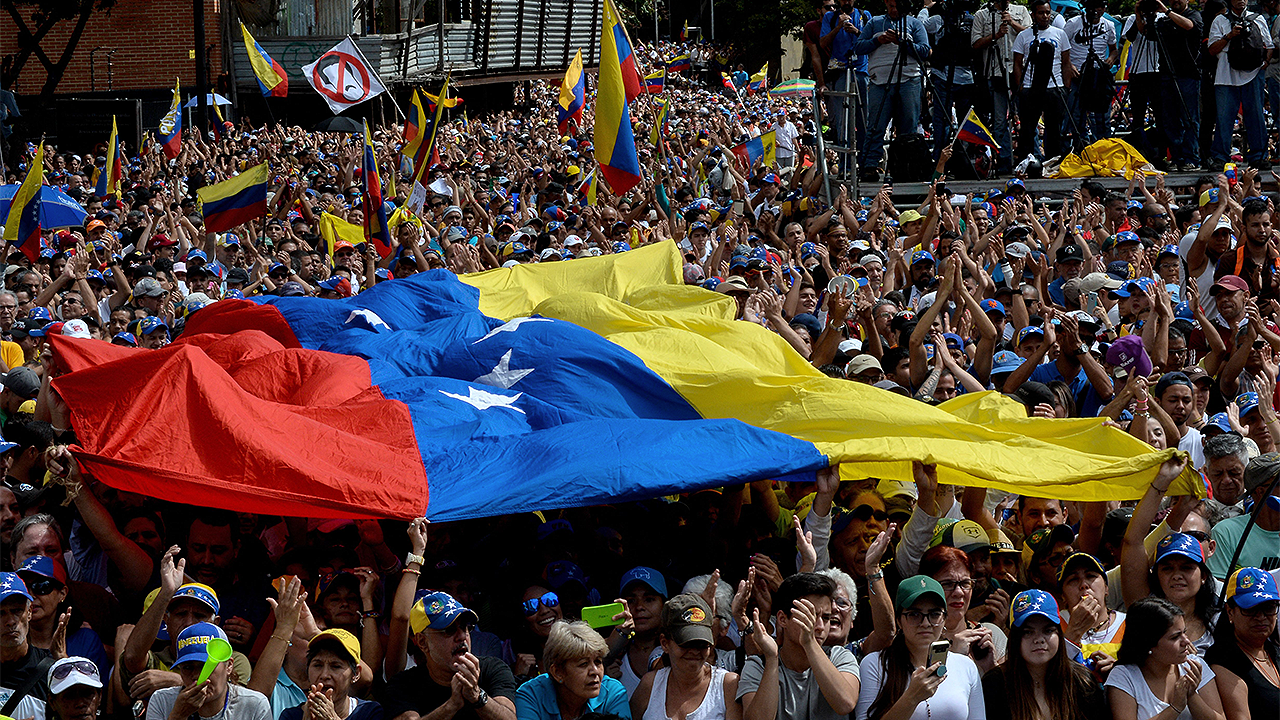
Venezuela has 23 states, the Capital District and Federal Dependencies. Spanish is the official language with Indigenous communities maintaining their own languages.
Economy: Oil and Beyond
Venezuela has the world’s largest proven crude-oil reserves. The Orinoco Oil Belt contains extensive extra-heavy crude resources.
The key point
Venezuela, with 916,445 square kilometres, holds the world's largest oil reserves and sits on key Caribbean shipping routes.